10 BURDITT TR
Owner Information
LOUIE KENIX
10 BURDITT TR
MALDEN, MA 02148


Property Details
10 BURDITT TR is classified as a Single Family Residential (Colonial).
The primary structure on this property was built in 2001. There are 1,532ft2 of built area within this property. There is 1,532ft2 of residential/living space within this property. This property is listed as having 6 rooms.
10 BURDITT TR is valued at $502,300. The land is valued at $213,100 and the structures are valued at $289,200.
This property is in Zone ResA. Confirm with local Zoning Board authorities to ensure there are no overlays or other easements on this property.
The most recent deed for 10 BURDITT TR is recorded at the local registrar in Book 45328, Page 97. 10 BURDITT TR was last sold on Monday, June 6, 2005 for $417,000.
Assessment data from fiscal year 2021.
Flood Data
According to the FEMA National Flood Hazard Layer, this property does not appear to be in a flood zone. It may also be in an area not yet reviewed. Nonetheless, confirm this information prior to taking any action.
To view the flood hazards around this property, create a FEMA "Firmette" Map of the area around 10 BURDITT TR.
Broadband Internet Providers
| Provider | Type | Bandwidth (mbps) | |
|---|---|---|---|
| Starry, Inc. | Fixed Wireless | 200 | 200 |
| VSAT Systems, LLC. | Satellite | 2 | 1 |
| HughesNet | Satellite | 25 | 3 |
| GCI Communication Corp. | Satellite | 0 | 0 |
| Comcast | Cable | 1000 | 35 |
| Verizon New England Inc. | Fiber | 940 | 880 |
| Verizon New England Inc. | DSL | 7 | 0 |
| Viasat Inc | Satellite | 100 | 3 |
Broadband service provider data from December 2020.
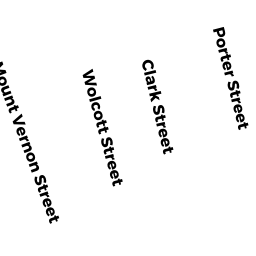
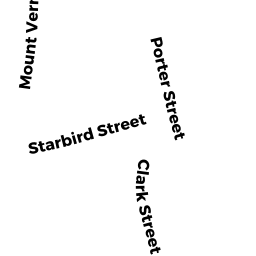
Adjacent Properties
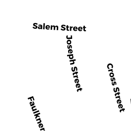
- 413 415 SALEM ST
Two-Family Residential owned by MANCIA VICTOR - 409 411 SALEM ST
Two-Family Residential owned by DAMITA KASSAHUN - 11 HYDE ST
Single Family Residential owned by SPALENZA JACKSON DE LELIS - 421 SALEM ST
Single Family Residential owned by SMITHENDORF KELSEY ANN - 15 HYDE ST
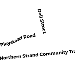
Single Family Residential owned by FGHANI SUSAN B GOLDSTEIN - 16 PLAYSTEAD RD
Single Family Residential owned by DESCILIEN BETTY